GARMIN CARTO
SKU:GCM010C128900
U.S. NORTH
U.S. NORTH
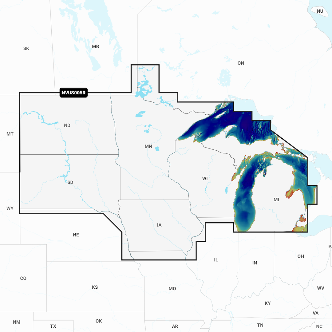
Compatible With Chart Plotters; Detailed Coverage Of Lakes And Rivers Of Iowa Michigan Minnesota North Dakota South Dakota Wisconsin And The US Waters Of The Great Lakes That Border Those States; Region Code: NVUS005R; On SD/ Micro-SD Card; With Auto Guidance Technology High-Resolution Relief Shading Sonar Imagery High-Resolution Satellite Imagery Aerial Photography Side-Scan Images 3D Fisheye View 3D Marinereye View And Dynamic Lake Level
Installment options at checkout are provided by Shop Pay and its partners and are subject to eligibility. Options depend on your purchase amount and may require a credit check by the financing partner. Terms, rates, and eligibility are determined by the financing partner. For details, see the Shop Pay Installments terms during checkout.
Couldn't load pickup availability
Share
